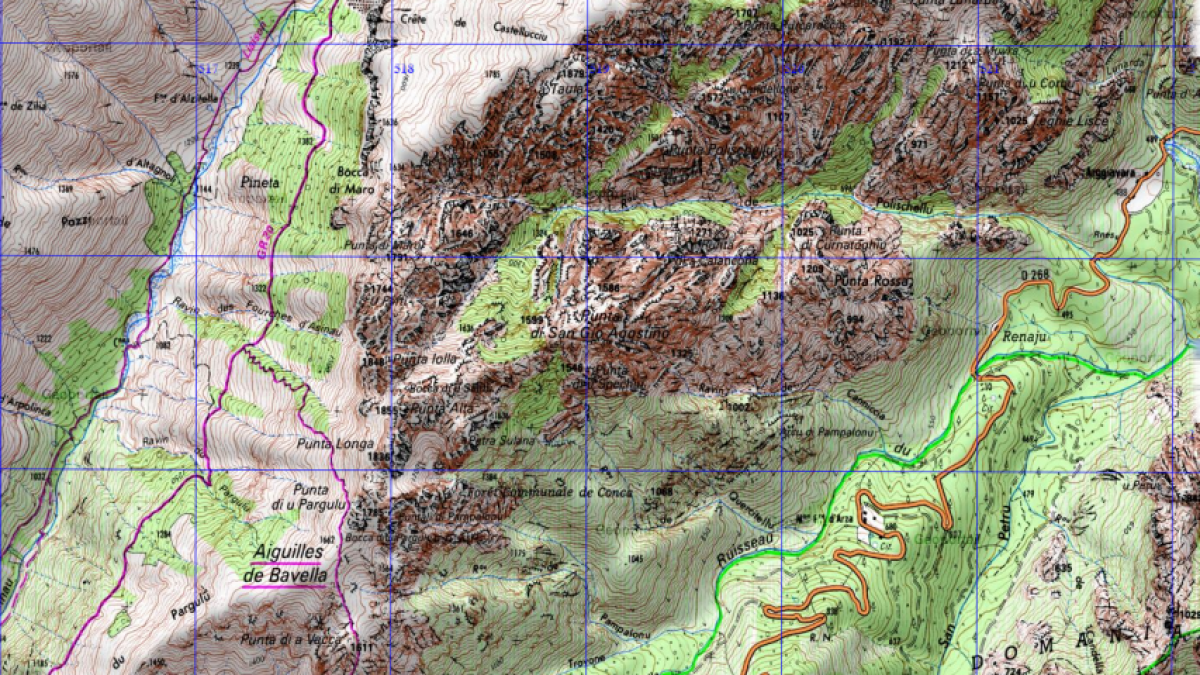
Low level
From the refuge, drop down into the valley, cross the river and follow the path that runs parallel to the river. You will come to an intersection where there is normally a signpost. You can turn left and head uphill to do the ‘variante alpine.’ If you continue straight on, you will flank the mountain, going all around it’s base to the Col de Bavalla. In bad weather this must be the option you choose.
High Level
Alternatively, you can turn left at the intersection and take what is known as the ‘Alpine Variant’ This high level route is more exposed and technical, there is a short section that involves using a chain over a steep slab of rock. It is scrambly and a lot harder than the trail that contours the mountain around the bottom. It comes out at Bavella.
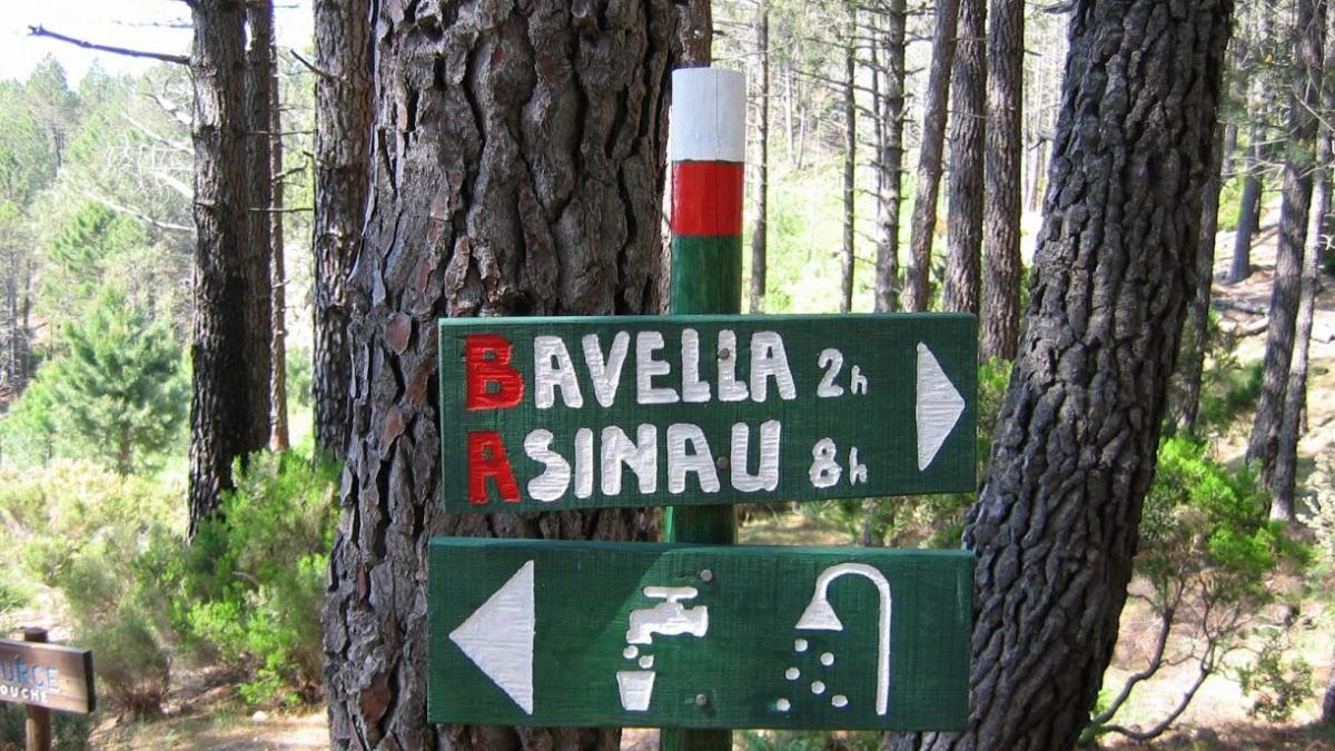
Bavella is a small mountain hamlet, comprising of two gites and cafés. You will find fresh spring water and refreshment.